

Backcountry Guide
Kejimkujik Backcountry Guide
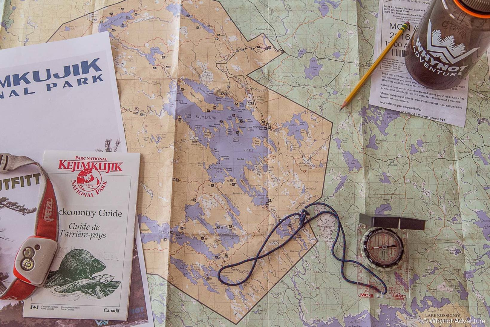
For years this map has avoided having a digitally available existence, but our friends at Parks Canada remedied that in 2018. Lo, and behold the essential trip planning resource designed specifically for Kejimkujik National Park's backcountry.
You'll notice some great details have been added-- pay close attention to the symbols next to the campsites: canoe only sites will only show a tent and a canoe, while hike-only campsites will only show a hiker and a tent. Some campsites are accessible to both hikers and paddlers.
This map also includes a bit of the legendary Tobeatic. Can you spot the Coffan ranger cabin?
Click Hereto start your download of the Kejimkujik Backcountry Guide pdf.
While digital copies of the Backcountry Guide are great for planning while at home (or the office...), we still strongly recommend having a hardcopy in your map case when in the backcountry. You can purchase one from the park Visitor Reception Centre, The Trail Shop, MEC or from us.
Searching Availability...